War Telegram Marking Map. Published by L. Prang & Co. Boston. Lithograph, 1862. Image size 33 3/8 x 22 3/8″ (850 x 567 mm) plus margins. Good condition save for repared splitting along fold lines. Backed with japan paper.
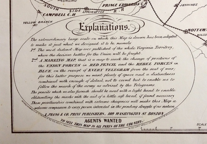
This large scale Civil War map depicts the area between Richmond and Baltimore in good detail. In the “Explanations” below the map, map publisher L. Prang states that “The extraordinary large scale on which this map is drawn has been adopted to make it just what we designed it to be, namely 1st The most distinct map ever published of the whole Virginia Territory; where the decisive battles for the Union will be fought, 2nd A Marking Map, that is a map to mark the change of positions of the Union Forces in Red Pencil and the Rebel Forces in Blue, on the receipt of Every Telegram from the seat of war…” He goes on to say that he will furnish the necessary colored pencils and that “with the aid of a little soft bread”, prior markings can be erased to show the latest developments.
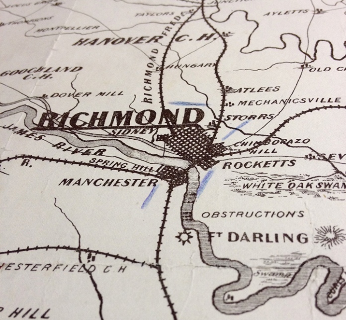
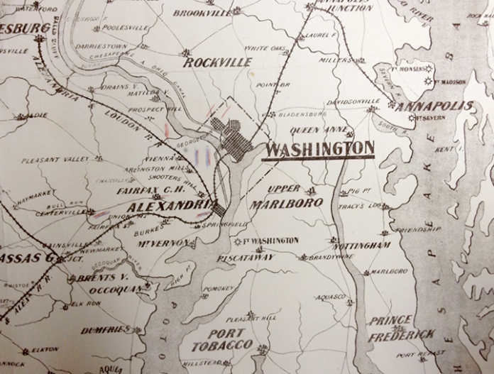
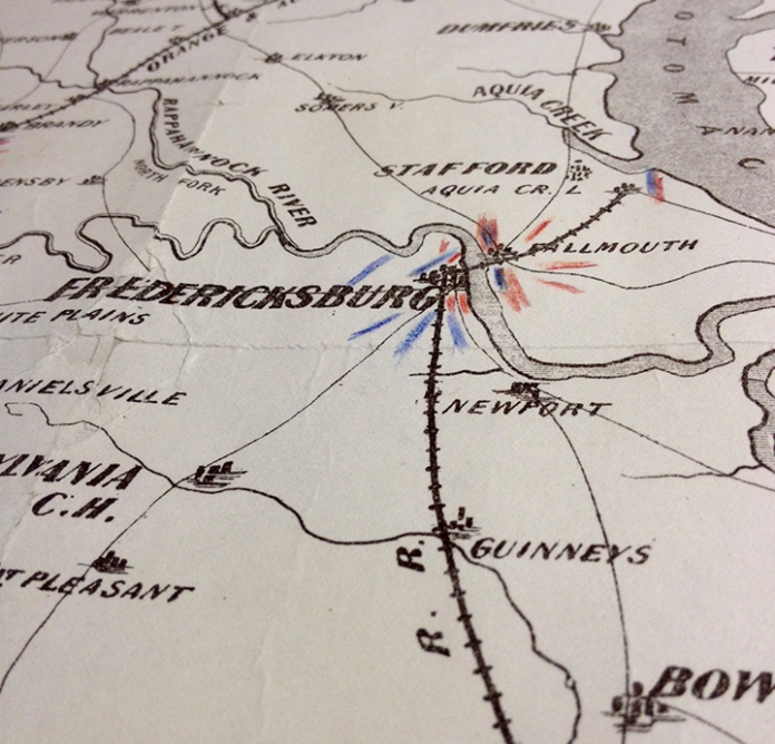
Printed in brown-black ink, this is a fascinating historical map. Our impression has colored pencil markings, to depict troop movements of both the Union and Confederate troops, around Washington, Richmond, Fredericksburg, and Yorktown.
The telegraph was invented in 1844 by Samuel F. B. Morse and revolutionized communications. He utilized one wire to carry the entire alphabet rather than a wire for each letter. By the time the Civil War erupted, President Abraham Lincoln encouraged the use of the telegram and had a telegraph office set up in the war room. Traveling telegraph wagons followed troops into the field.

Detail of War Telegram Marking Map. Showing troop movements near Richmond, Va. Blue pencil markings signified Confederate forces.

Detail of War Telegram Marking Map. Showing troop movements of Union and Confederate forces near Washington, DC and Alexandria, VA. Red pencil markings denote Union troops, blue pencil markings denote Confederate troops.


